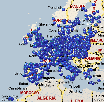
European Mileage Charts and Tables stored as Excel 2007 workbooks, including travel times and distances for both the fastest and shortest routes. Includes two pan-European table; plus tables for 24 European countries. Includes workbooks for pan-Europe (short and long); and 24 European countries. Individual charts include the 1000 largest cities with a population of 1000 or more. The main Pan-European chart includes the 1000 largest cities, and a smaller Pan-European chart is limited to the 250 largest cities for brevity.
Charts are available for individual download, or as a combined zip (533MB in size). Workbooks use the industry-standard Excel 2007 format. 2007 is required due to the large size of these workbooks. Cities are chosen and located using Geonames.org data.
System Requirements:
Not Applicable
Version:
3
Last updated:
2010-11-16 13:20:50
Publisher:
Winwaed Software Technology LLC
Homepage:
http://www.mapping-tools.comFile name:
europe_charts.zip
File size:
533.34MB
License:
Data Only
Price:
0.00