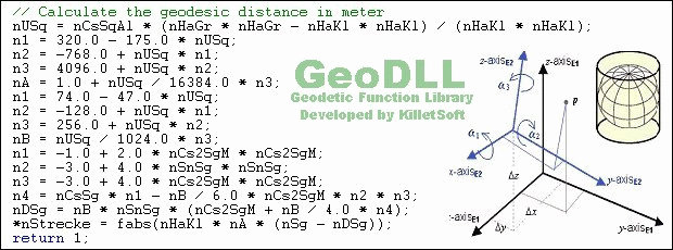
GeoDLL is a Geodetic Development Kit / Geodetic Function Library with worldwide 2D and 3D Coordinate Transformation, Datum Shift, Meridian Convergence and Extra Parameter with highest accuracy. Furthermore: Helmert and Molodensky Parameters, NTv2, HARN, INSPIRE, EPSG, Digital Elevation Model (DEM), distance and Time Zone calculations and much more. GeoDLL for geodetic and GIS development is available as 32Bit and 64Bit DLL and as C++ source code. GeoDLL supports the development of geodetic software on various platforms by providing geodetic functions. Thus, geodetic functions of GeoDLL can be linked to programs written in C, C++, C#, Java, Pascal, Delphi, MS-Access, Visual Basic, Visual Objects or which are written in other programming languages. The most important application of GeoDLL is to include professional Coordinate Transformations in own programs. These Coordinate and Reference Systems are supported: The current and historical Systems of all countries of Europe - The European ETRS89 systems forced by INSPIRE - The US and Canadian NAD, NTv2, HARN and SPCS Coordinate Reference Systems - The Coordinate Reference Systems of most countries of all continents - The Coordinate Reference Systems of Germany, Austria and Switzerland incl. NTv2 - The Geographic coordinates in different notations and Cartesian coordinates - Worldwide NTv2 gridfile supported Coordinate Transformations - Worldwide used numeric and alphanumeric Coordinate Systems - Most of EPSG supported Coordinate Reference Systems - ITRS annual realizations or WGS84 epochs for GPS measurements - WGS84 Coordinate Transformations in consideration of the continental drift - User defined Coordinate Systems, Reference Systems and earth ellipsoids - Meridian Convergence, Origin Center Meridian, Geographical Point Coordinates. GeoDLL is written in C / C ++ and is developed using Microsoft Visual Studio. Thus very fast performance, compact code and high stability are assured.
System Requirements:
Win2000, WinXP, Win7 x32, Win7 x64, Windows 8, Windows 10, WinServer, WinOther, Windows2000, Windows2003, Windows Server 2000, Windows Server 2003, Windows Server 2008, Windows Server 2008r2, Windows Server 2012, Windows Tablet PC Edition 2005, Windows Media Center Edition 2005, WinVista, Windows Vista Starter, Windows Vista Home Basic, Windows Vista Home Premium, Windows Vista Business, Windows Vista Enterprise, Windows Vista Ultimate, WinVista x64, Windows Vista Home Basic x64, Windows Vista Home Premium x64, Windows Vista Business x64, Windows Vista Enterprise x64, Windows Vista Ultimate x64
Version:
20.00
Last updated:
2019-12-30 10:18:58
Publisher:
Killet Software Ing.-GbR
Homepage:
http://www.killetsoft.de/h_home_e.htmFile name:
geodll.zip
File size:
5.48MB
License:
Shareware
Price:
710